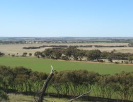
Geology Mapping Systems
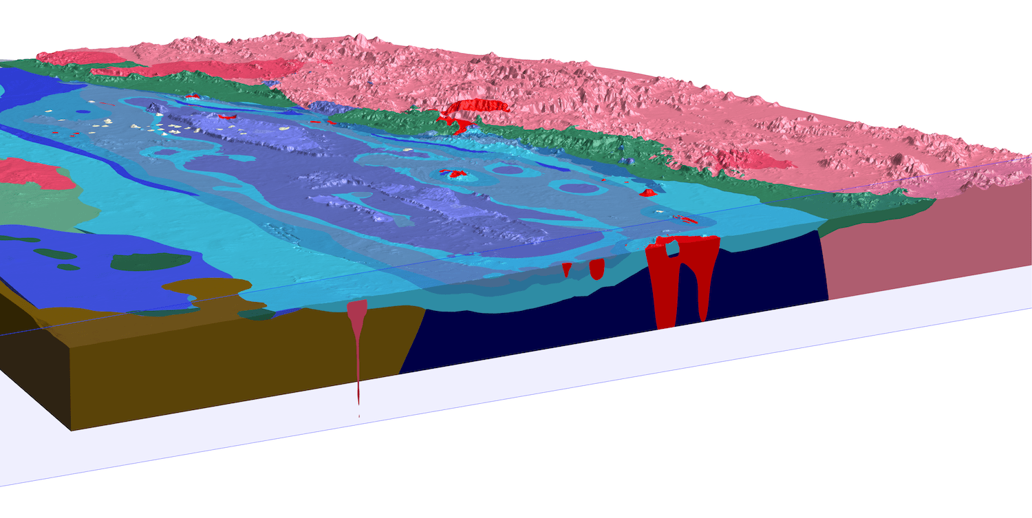
Our geology mapping services can add value to your project by creating dynamic and integrated 2D and 3D geology products that will improve the geological understanding of a region, project, or deposit.
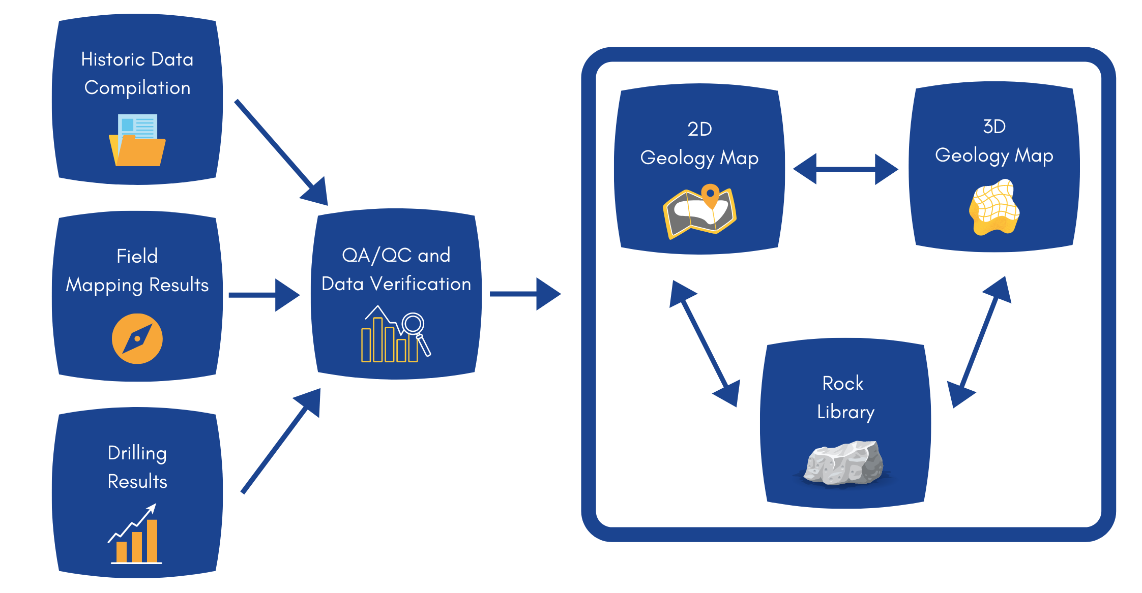
Good up to date and fit for purpose geological mapping, in 2D and 3D, can aid with drill planning and improve regional targeting, leading to more efficient and effective exploration and drill programs saving both time and money.
We can integrate and manage geology data to make sure the best representation of the targeted mineral system is mapped, and is easily accessible to all end users.
Our mapping systems ensure that as new data and knowledge are collected it can be integrated into 2D and 3D geology maps for use in exploration workflows and in real time for exploration planning.
Geological Mapping System Story Map
Find Out More
Case studies
Videos
Useful links
Our Geology Mapping Related services include:
Related Projects
Longreach Mineral Exploration’s Fletchers Awl Project
Kenex have been working with our strategic partner Longreach Mineral Exploration to explore their Fletchers Awl copper-gold project in Central Queensland. The project focusses on…
Duke Exploration’s Bundarra Project
Kenex has worked closely with Duke to develop their Bundarra project from the beginning. Starting with regional targeting to identify the project, Kenex have since…
WA Tampia Gold Project
The Tampia Hill Project, Western Australia The Tampia Hill gold deposit (held by Explaurum Ltd when the project work was undertaken), is located near the…