Land Use Analysis
Find the most sustainable and economically viable land use for your land by analysing the combination of terrain and other characteristics of your land
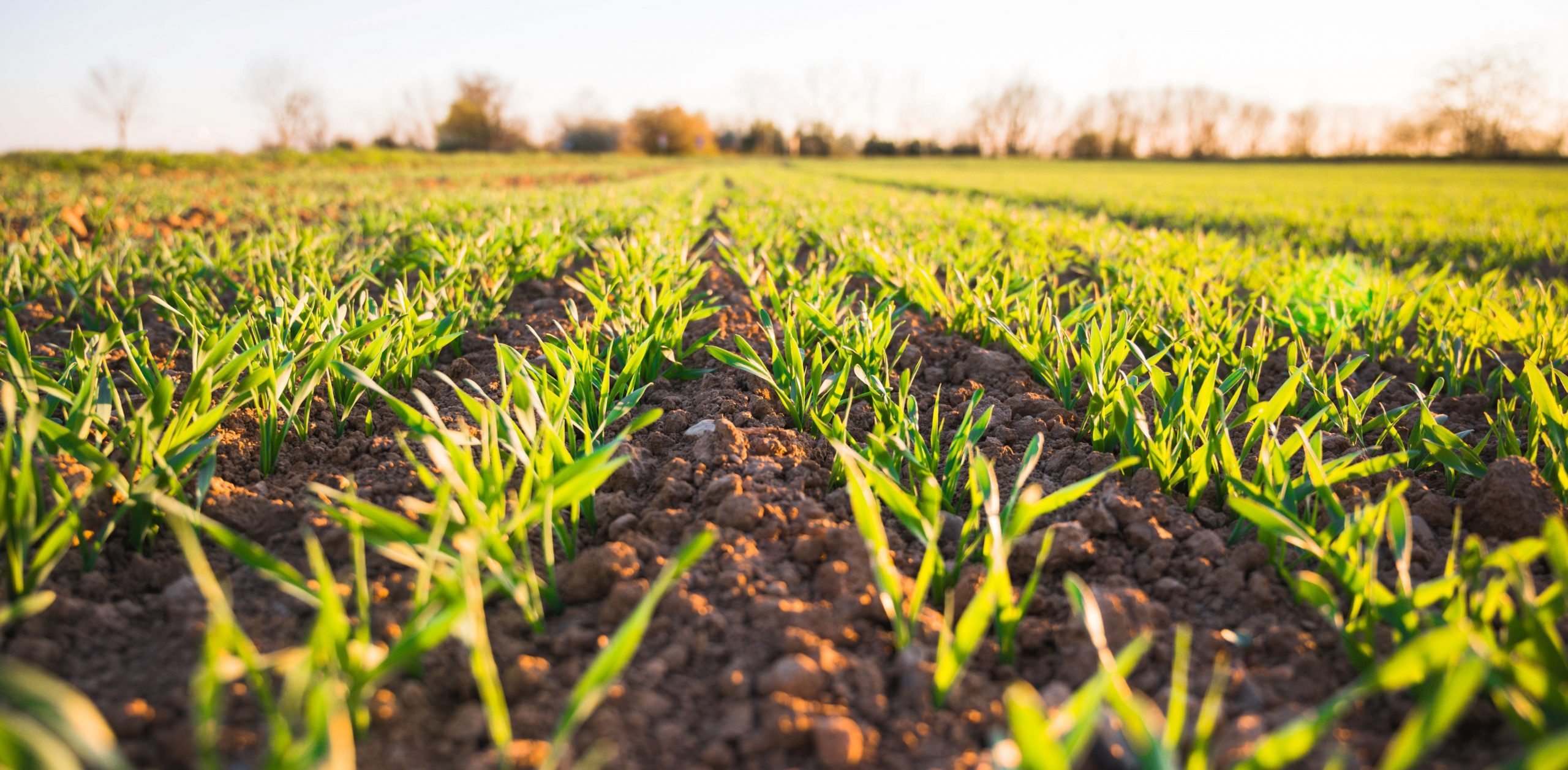
Thorough project planning is integral to success, and spatial and economic land use analysis is an important piece of any land-based project’s development.
Kenex uses LIDAR and high resolution image interpretation to obtain information about current and historic land cover and terrain morphology and integrates it with other spatial data to create models that will help to determine the most suitable land uses for an area of interest.
This analysis can help deliver better outcomes in terms of environmental preservation, risk and safety hazards, and profit forecasts, reducing development costs and increasing overall profitability of the project.
We use these skills in a range of industries to help clients determine land use suitability for horticulture, forestry, apiculture, and agriculture and can use our data to calculate potential economic revenue by hectare for a selected crop or other land use.
FIND OUT MORE
Presentations
- Using Spatial Data to Unearth the Potential of the Soil Below Our Feet
- Improving Landuse Solutions: a collaborative pilot study with local indigenous organisations
- Land use optimisation with GIS
- Enhancing regional and national economic development from mineral projects: The use of spatial analysis to inform on infrastructure deficit in Canada
Related Projects
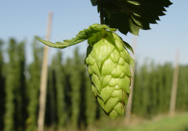
Hop farming suitability model
The hop growing study that Kenex created for the Ngati Hikairo iwi is a successful example of how smart GIS analysis can unlock land potential…

NZ Land Management for Iwi
GIS Infrastructure and Land Management for Maori iwi Kenex has partnered with Moka Apiti, director of Digital Navigators Ltd, to provide services to Maori iwi focused…

Canada National Infrastructure Model
National Infrastructure Model in Canada Using our GIS expertise and the economic expertise of Richard Schodde of MinEx Consulting, Kenex have completed a spatial analysis project…